
Lake Superior Facts
Lake Superior is the northernmost Great Lake. The lake borders Minnesota, Wisconsin, the Upper Peninsula of Michigan, and the Canadian province of Ontario. About 200 rivers feed into Lake Superior, and the average drop of water will travel around the lake for 191 years before exiting through the Soo Locks on the St. Marys River.
Lake Superior Basin
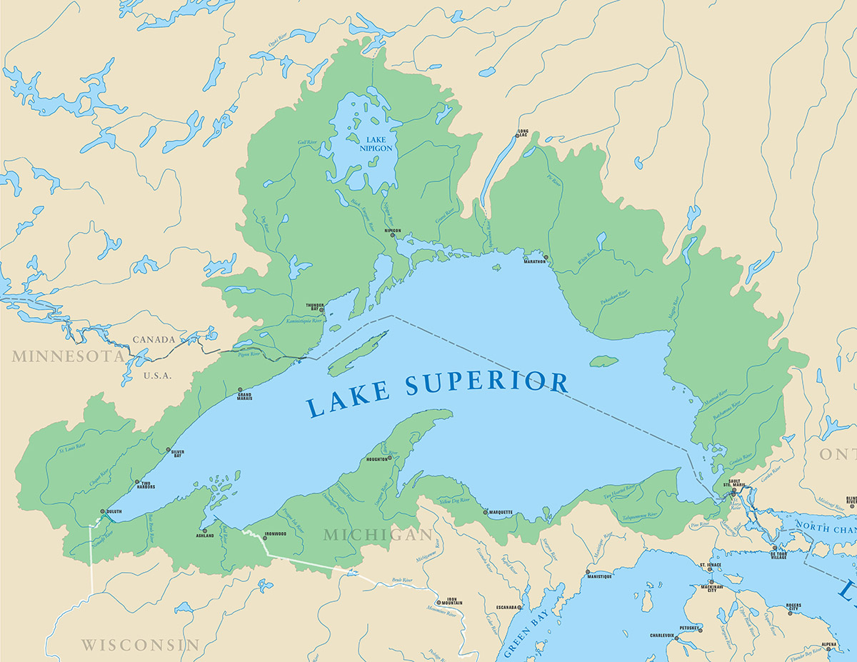
Lake Superior Basin Statistics
- Length: 350 mi (563 km)
- Breadth: 160 mi (257 km)
- Elevation: 600 ft (183 m)
- Depth: 483 ft (147 m) average; 1,330 ft (406 m) maximum
- Volume: 2,900 cubic mi (12,100 cubic km)
- Water surface area: 31,700 square mi (82,100 square km)
- Drainage basin area: 49,300 square mi (127,700 square km)
- Shoreline length: 2,726 mi (4,385 km), including islands
- Outlet: St. Marys River to Lake Huron
- Retention or replacement time: 191 years
Source:Michigan Sea Grant.