NOAA Storm Prediction Center
Convective Outlooks
Convective Outlooks
The convective outlooks serve as guidance to the local NWS forecast offices and are used by emergency managers, private sector meteorologists, media, and other weather customers concerned with public safety. Three separate risk areas (slight, moderate, and high) are used to describe the expected coverage and intensity for the categorical severe weather threat on days 1-3 along with severe weather probabilities for the potential threat.
|
|

Categorical Day3 0830Z Outlook
|
|
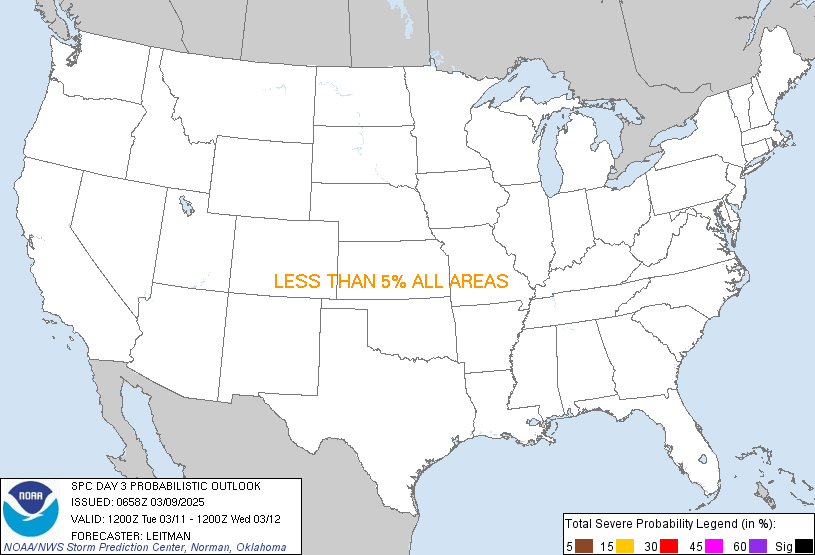
Probability of severe weather within 25 miles of a point.
Hatched Area: 10% or greater probability of significant severe weather within 25 miles of a point.
|
|
|
Images courtesy of the NWS Storm Prediction Center
000
ACUS03 KWNS 250732
SWODY3
SPC AC 250730

Day 3 Convective Outlook
NWS Storm Prediction Center Norman OK
0230 AM CDT Thu Apr 25 2024

Valid 271200Z - 281200Z

...THERE IS AN ENHANCED RISK OF SEVERE THUNDERSTORMS FOR PARTS OF
CENTRAL/EASTERN KS...NORTHWEST MO...FAR SOUTHEAST NE...MUCH OF
OK...AND PART OF NORTH TX...

...SUMMARY...
Potentially widespread strong to severe thunderstorms are expected
Saturday into Saturday night. The greatest threat is currently
anticipated across parts of the central and southern Plains, where
very large hail, damaging winds, and a few strong tornadoes will be
possible. A larger area of potential threat will extend from
south-central Texas north-northeastward into the Great Lakes.

...Synopsis...
A shortwave trough and attendant surface low are forecast to
gradually weaken and move northeastward across the upper Great Lakes
region on Saturday. Meanwhile, a deep mid/upper-level trough will
move eastward from the Southwest, resulting in a deepening cyclone
across southwest KS. Rich low-level moisture will continue to stream
northward across the warm sector of this cyclone, with favorable
moisture also extending northeast into the Great Lakes region.

...Parts of the central/southern Plains...
While details remain uncertain, scattered significantly severe
thunderstorms may develop across parts of the central/southern
Plains Saturday into Saturday night, with all severe hazards
(including very large hail and a few strong tornadoes) possible.

As the approaching upper-level trough begins to impinge upon the
moist warm sector of the deepening cyclone, strengthening low-level
and deep-layer shear will overspread moderate to locally strong
instability from KS into parts of TX/OK. There is some potential for
early convection to develop and spread from northwest TX into OK.
This early convection would likely pose some severe threat if it
materializes, though it would complicate the scenario for later in
the day.

If the warm sector stays relatively undisturbed, then scattered
supercell development is expected along the dryline by late
afternoon, along with some potential for warm-sector development
farther east, and also near a northward moving warm front across
northeast KS/northwest MO into southeast NE/southwest IA. Very large
hail will be the most likely initial threat, though the tornado
threat will increase with time, as the low-level jet strengthens
through the day. Any supercells that persist into late
afternoon/early evening across the warm sector could pose an
increasing strong tornado threat with time. Some areas may see more
than one round of severe storms, with multiple clusters expected to
develop through the evening, with some threat for all severe hazards
potentially lasting into late evening.

...Great Lakes vicinity...
Coverage of storms into parts of the Great Lakes remains somewhat
uncertain on Saturday in the wake of the departing shortwave trough,
but a conditionally favorable storm environment will likely develop
into the afternoon/evening into parts of WI/IL and MI, as relatively
rich low-level moisture remains in place and deep-layer shear
remains rather strong. Some threat for all severe hazards could
evolve across the region, along/ahead of a cold front, with some
threat potentially lasting into the evening as convection spreads
northeast from the Plains.

..Dean.. 04/25/2024

$$